| 1 |
龙朝夕. 森林火灾现场指挥信息集成研究[D]. 长沙: 中南林业科技大学, 2015.
|
|
Long Zhaoxi. The Research of Forest Fire Scene Command Information Integration[D]. Changsha: Central South University of Forestry and Technology, 2015.
|
| 2 |
付婧婧, 吴志伟, 闫赛佳, 等. 气候、植被和地形对大兴安岭林火烈度空间格局的影响[J]. 生态学报, 2020, 40(5): 1672-1682.
|
|
Fu Jingjing, Wu Zhiwei, Yan Saijia, et al. Effects of Climate, Vegetation, and Topography on Spatial Patterns of Burn Severity in the Great Xing'an Mountains[J]. Acta Ecologica Sinica, 2020, 40(5): 1672-1682.
|
| 3 |
蔡霁初, 邱建秀, 王大刚, 等. 基于土壤水分和气象要素的林火预报研究-以广东省为例[J]. 地理科学, 2021, 41(9): 1676-1686.
|
|
Cai Jichu, Qiu Jianxiu, Wang Dagang, et al. Forest Fire Prediction Based on Soil Moisture and Meteorological Factors: Taking Guangdong Province as an Example[J]. Scientia Geographica Sinica, 2021, 41(9): 1676-1686.
|
| 4 |
张平. 森林火灾现场指挥扑救决策研究[D]. 长沙: 中南林业科技大学, 2009.
|
|
Zhang Ping. The Research on Decision-making of Forest Fire Direct Suppression on the Spot[D]. Changsha: Central South University of Forestry and Technology, 2009.
|
| 5 |
王颖, 杨志高, 刘江龙, 等. 森林防火虚拟仿真实验教学体系建设探索与实践[J]. 湖北农业科学, 2017, 56(7): 1351-1355.
|
|
Wang Ying, Yang Zhigao, Liu Jianglong, et al. Exploration and Practice of Virtual Simulation Experimental Teaching System Construction for Forest Fire Prevention[J]. Hubei Agricultural Sciences, 2017, 56(7): 1351-1355.
|
| 6 |
杨福龙. 基于元胞自动机的林火蔓延三维模拟仿真研究[D]. 北京: 北京林业大学, 2016.
|
|
Yang Fulong. Study on Simulation of Three Dimensional Simulation of Forest Fire Spread Based on Cellular Automaton[D]. Beijing: Beijing Forestry University, 2016.
|
| 7 |
王正非. 山火初始蔓延速度测算法[[J]. 山地研究, 1983, 1(2): 42-51.
|
|
Wang Zhengfei. The Mesurement Method of the Wildfire Initial Spread Rate[J]. Nountain Research, 1983, 1(2): 42-51.
|
| 8 |
毛贤敏. 风和地形对林火蔓延速度的作用[J]. 应用气象学报, 1993, 4(1): 100-104.
|
|
Mao Xianmin. The Influence of Wind and Relief on the Speed of the Forest Fire Spreading[J]. Quarterly Journal of Applied Meteorology, 1993, 4(1): 100-104.
|
| 9 |
朱启疆, 高峰, 张振威. GIS支持下森林火场蔓延的空间模拟[J]. 环境遥感, 1995, 10(2): 81-88.
|
|
Zhu Qijiang, Gao Feng, Zhang Zhenwei. Spacial Spread Simulation of Forest Fire Based upon GIS[J]. Remote Sensing of Environment China, 1995, 10(2): 81-88.
|
| 10 |
周国雄, 吴淇, 陈爱斌. 基于多智能体算法的CA林火空间扩散模型[J]. 系统仿真学报, 2018, 30(3): 824-830, 839.
|
|
Zhou Guoxiong, Wu Qi, Chen Aibin. Forestry Fire Spatial Diffusion Model Based on Multi-agent Algorithm with Cellular Automata[J]. Journal of System Simulation, 2018, 30(3): 824-830, 839.
|
| 11 |
张延林, 宋宏光. GIS在森林防火中的应用[J]. 森林工程, 2008, 24(3): 29-31.
|
|
Zhang Yanlin, Song Hongguang. Application of GIS in Forest Fire Prevention[J]. Forest Engineering, 2008, 24(3): 29-31.
|
| 12 |
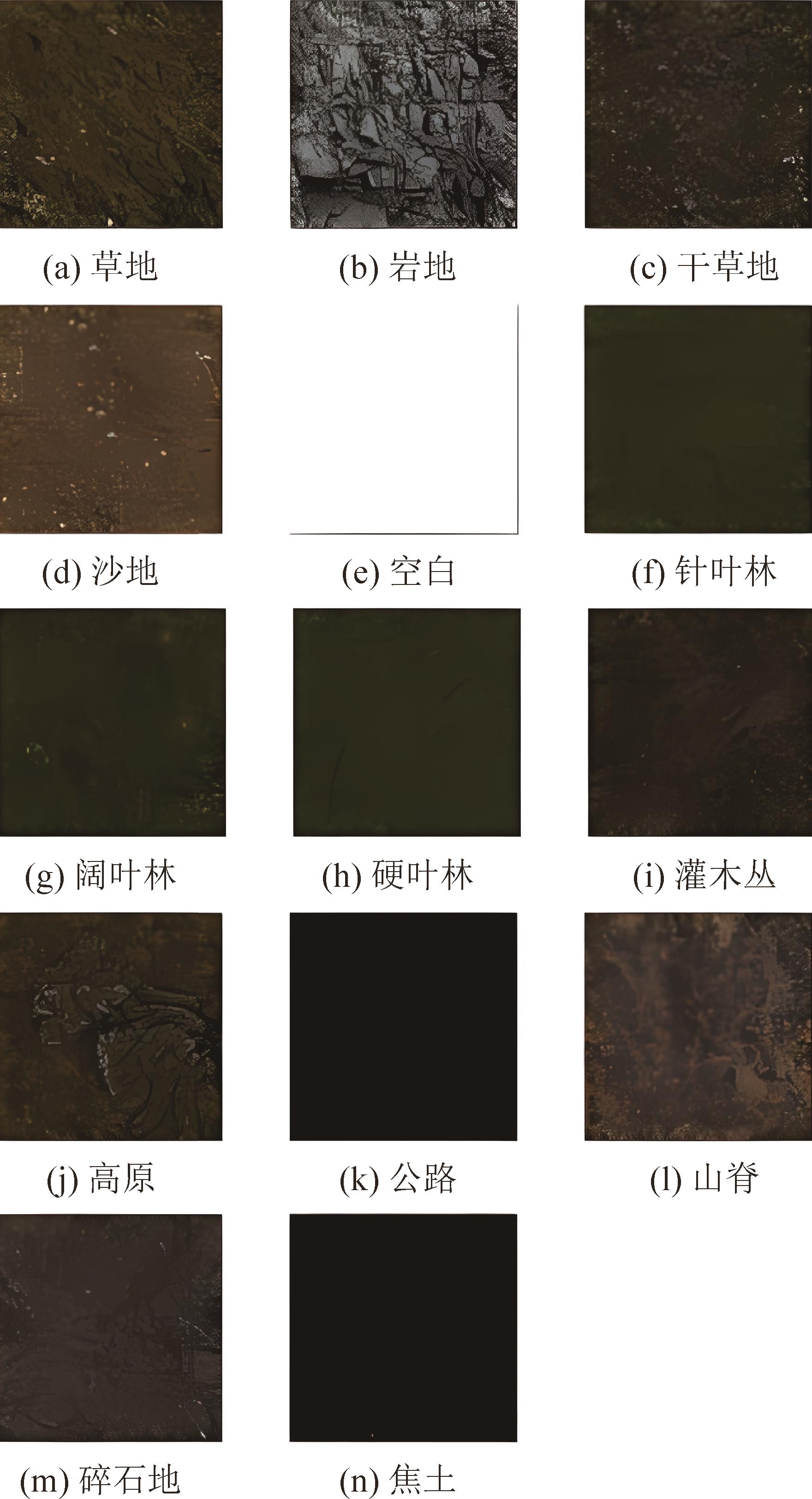
冯晓丽, 吴小芳, 沈德才, 等. 基于 DEM 的森林地形与植被空间格局关联分析[J]. 福建林业科技, 2015, 42(1): 26-30.
|
|
Feng Xiaoli, Wu Xiaofang, Shen Decai, et al. Association Analysis Between Forest Terrain and Vegetation Spatial Pattern Based on DEM[J]. Journal of Fujian Forestry Science and Technology, 2015, 42(1): 26-30.
|
| 13 |
王丹. 林火蔓延中的数据同化方法研究[D]. 长沙: 中南林业科技大学, 2017.
|
|
Wang Dan. The Research on Some Chemical and Physical Test Methods in the Chemical and Fiber Production Process[D]. Changsha: Central South University of Forestry and Technology, 2017.
|
| 14 |
牛丽红, 何先进. 基于OGRE的森林火灾仿真研究[J]. 现代农业科技, 2012(3): 239-241.
|
|
Niu Lihong, He Xianjin. Research on Forest-fire Simulation Based on OGRE[J]. Modern Agricultural Science and Technology, 2012(3): 239-241.
|
| 15 |
苏金柱. 结合Huygens原理的GIS山火蔓延模拟系统[D]. 汕头: 汕头大学, 2008.
|
|
Su Jinzhu. Forest-fire Spreading Simulation System with Huygens' Principle Based on GIS[D]. Shantou: Shantou University, 2008.
|
| 16 |
张全文, 杨永崇, 王涛, 等. 基于元胞自动机的高原林火蔓延三维可视化模拟[J]. 科学技术与工程, 2021, 21(4): 1295-1299.
|
|
Zhang Quanwen, Yang Yongchong, Wang Tao, et al. Three-dimensional Visual Simulation of Forest Fire Spread Based on Cellular Automata[J]. Science Technology and Engineering, 2021, 21(4): 1295-1299.
|
| 17 |
张凯选, 潘梦清, 方辉, 等. 利用等高线生成DEM方法的研究[J]. 测绘工程, 2007, 16(3): 15-18.
|
|
Zhang Kaixuan, Pan Mengqing, Fang Hui, et al. The Methods of Utilizing Contours to Build DEM[J]. Engineering of Surveying and Mapping, 2007, 16(3): 15-18.
|
| 18 |
陈楠, 王钦敏, 汤国安. 自DEM由不同算法提取坡度的对比分析[J]. 测绘工程, 2006, 15(1): 6-9.
|
|
Chen Nan, Wang Qinmin, Tang Guoan. A Contrast Analysis of Slopes Extracted by Different Algorithms Based on DEM[J]. Engineering of Surveying and Mapping, 2006, 15(1): 6-9.
|
| 19 |
OpenSceneGraph. The OpenSceneGraph Project Website[EB/OL]. [2023-01-07]. .
|
| 20 |
唐海涛, 王船海. 虚拟现实的三维时态GIS模式研究[J]. 地球信息科学, 2008, 10(2): 206-213.
|
|
Tang Haitao, Wang Chuanhai. Research on 3D-tense-GIS Pattern Based on Virtual Reality[J]. Geo-Information Science, 2008, 10(2): 206-213.
|
| 21 |
刘颖, 罗岱, 黄心渊. 基于OSG的Speedtree植物模型绘制研究[J]. 计算机工程与设计, 2012, 33(6): 2406-2409, 2416.
|
|
Liu Ying, Luo Dai, Huang Xinyuan. Study on OSG-based Graphing of Plant Models from Speedtree[J]. Computer Engineering and Design, 2012, 33(6): 2406-2409, 2416.
|
| 22 |
郭国忠, 金一丞, 彭国均, 等. 森林火灾蔓延的三维实时仿真[J]. 中国图象图形学报, 2003, 8(增1): 743-747.
|
|
Guo Guozhong, Jin Yicheng, Peng Guojun, et al. Real-time Simulation of the Forest Fire Spreading[J]. Journal of Image and Graphics, 2003, 8(S1): 743-747.
|
| 23 |
谢吉刚. 一种基于A*的RPG游戏寻路算法[J]. 电子测试, 2018, 29(19): 25-28.
|
|
Xie Jigang. A Routing Algorithm Based on A* for RPG Game[J]. Electronic Test, 2018, 29(19): 25-28.
|
| 24 |
程传奇, 郝向阳, 李建胜, 等. 融合改进A*算法和动态窗口法的全局动态路径规划[J]. 西安交通大学学报, 2017, 51(11): 137-143.
|
|
Cheng Chuanqi, Hao Xiangyang, Li Jiansheng, et al. Global Dynamic Path Planning Based on Fusion of Improved A* Algorithm and Dynamic Window Approach[J]. Journal of Xi'an Jiaotong University, 2017, 51(11): 137-143.
|
| 25 |
王殿君. 基于改进A*算法的室内移动机器人路径规划[J]. 清华大学学报(自然科学版), 2012, 52(8): 1085-1089.
|
|
Wang Dianjun. Indoor Mobile-robot Path Planning Based on an Improved A* Algorithm[J]. Journal of Tsinghua University(Science and Technology), 2012, 52(8): 1085-1089.
|
 ), 严小天3,4,5, 刘剑5,6, 刘玉明1,2,7(